How internet users in rural Mali visualize the internet
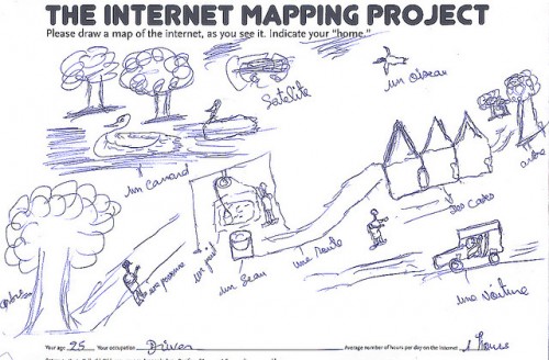
Photos from “Toujours Pas Sages” internet training workshops in Mali are very telling of how those in rural Mali view the internet. The workshops were part of the Segou Villages Connection Project. As part of one activity, participants were asked to draw a map of the internet, as they see it. The worksheets have been uploaded to Flickr and we’ve chosen a few to share. They are from 2009 but are still very pertinent! Notice the reliance on satellite for internet (which has changed in the past 4 years but still plays a major role in delivering rural bandwidth). Also, most participants in the training workshops were in the 22-40 age range.
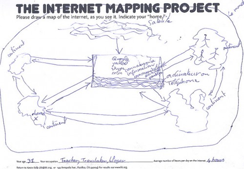
Google, Yahoo, Skype, MSN and other forms of communication take center stage. They are powered by satellite and connect the continents.
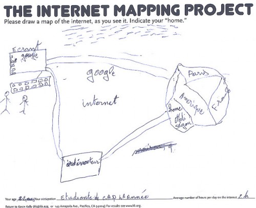
Google and the internet are again in the center.
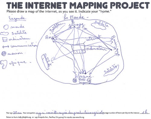
Satellite internet links Europe, America, and Africa.
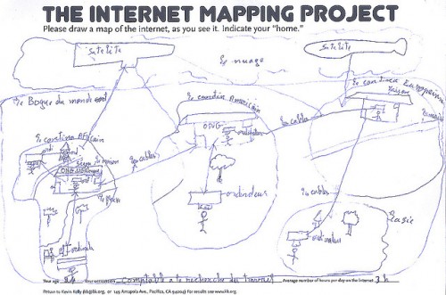
A rare example where the continents are linked by cable instead of just by satellite.
The only reference to the internet here is a satellite overlooking a scene of a town.
For 300+ more photos of the Segou villages project, visit the full photostream from workshop.segou.




 Twitter
 Facebook
 Pinterest