African Terrestrial Fibre Optic Infrastructure (AfTerFibre) gallery
Steve Song, champion of delivering affordable telecoms access in Africa, maintains a variety of great resources for all things fibre cable. The ubiquitous African Undersea Cables map is just the beginning. After all, landlocked countries and the interior parts of coastal nations both need national backbones to deliver service to all.
Terrestrial cables are mapped as part of the African Terrestrial Fibre Optic Cable Mapping Project (AfTerFibre). The terrestrial cables operating in each African country are not only mapped visually using KML files, but each operator’s cable network is summarized on a Wikipedia page.
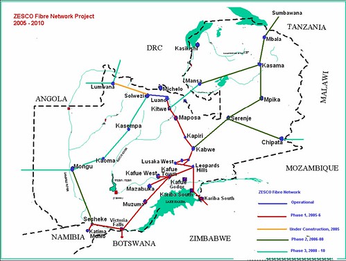
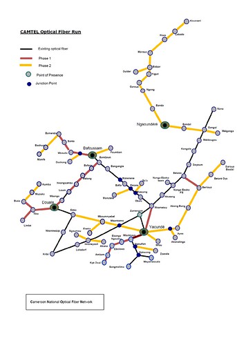
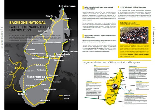
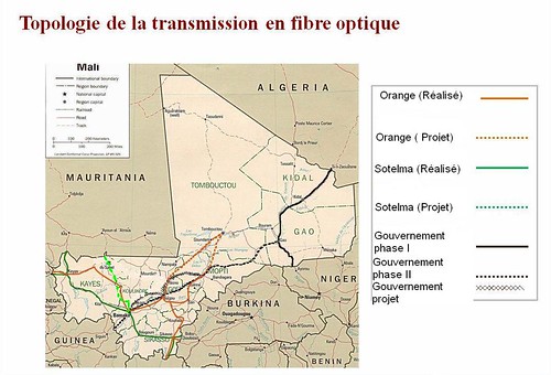
In many cases, terrestrial fibre network maps are made available online on Flickr. Most are a couple of years old, but the core routes remain the same (and hopefully have expanded since).
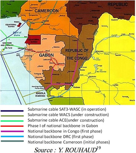
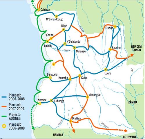
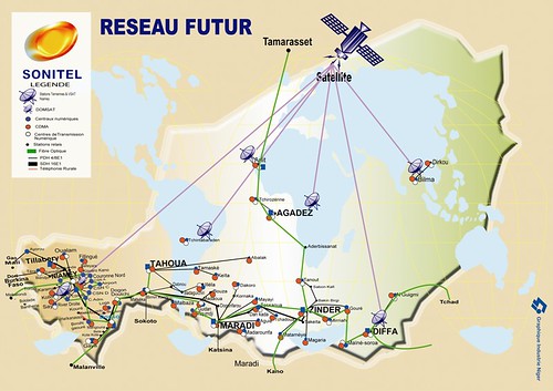
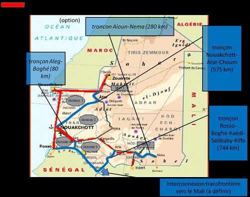
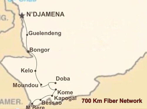
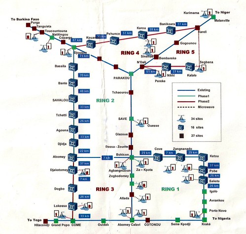
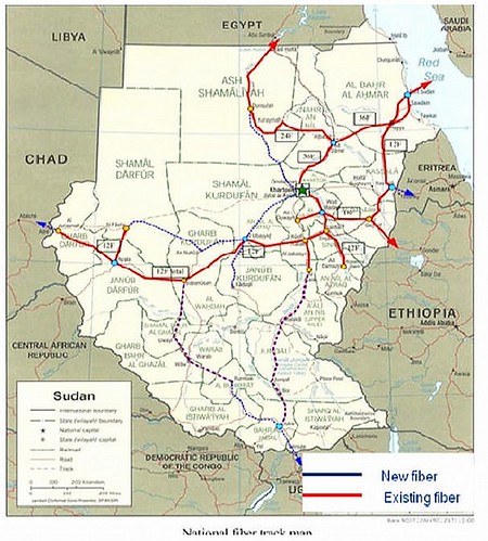
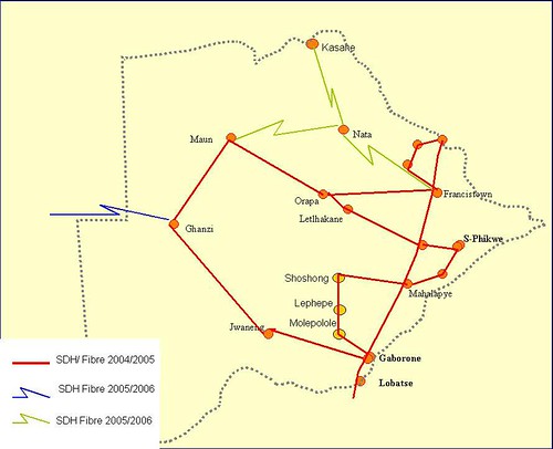
The great project allows us to see networks from under-served countries. Below are selected terrestrial fibre maps, all from Flickr/ssong. (East African nations, South Africa, Nigeria, and Ghana are left out of this post, but can be found on the Flickr set).







 Twitter
 Facebook
 Pinterest